What is left of the wind turbine? |
In October 1977, I had the opportunity to return to the site of the wind turbine which had, for eleven years, been the second most powerful wind turbine in the world and which, twenty years later, was still in the top five of wind turbines ever built by man. It was at that time the most powerful wind turbine built in France and Europe. I took these photos of the concrete bases that the farmers of Vaubrun, owners of the land, never dynamited, even though the mining sites had been planned for their demolition when the station was built. Having since learned from visitors to this website that the remains were still in place, I returned in 2011. Since the IGN allowed Google Maps to use its aerial photographs, I was able to locate it: the five concrete blocks are still visible (see below). I went back to show the site to my children and grandchildren in 2014 (without taking pictures). I then noticed that trees had been planted to protect the remains of the wind turbine and to avoid the farmer of Vaubrun having to go around them every time he ploughed. On 21 September 2019, the Maison du Tourisme de Nogent-le-Roi organised an exhibition on the Industrial Heritage of Nogent where panels illustrated - among other things - the wind turbine of Nogent. I was invited to the exhibition, which allowed me to meet people from Nogent who had known the machine. Roger Tempête gave me photos of that time. Mr Gilles Cherdlé, the farmer from Vaubrun, told me that neither he nor his predecessors had wanted to dynamite the remains of the wind turbine, wishing to keep the memory of it. Gilles Cherdlé is the nephew of Mr Cherdlé who was a member of the team of the wind turbine. On this occasion, I also learned that, in 2007, during the construction of the Nogent-le-Roi bypass, a land consolidation had been planned and that the Conseil Départemental d'Eure-et-Loir had decided to acquire this historic site. It was the council that planted trees to mark the site. The remains photographed in 1977 |
|
 |
 |
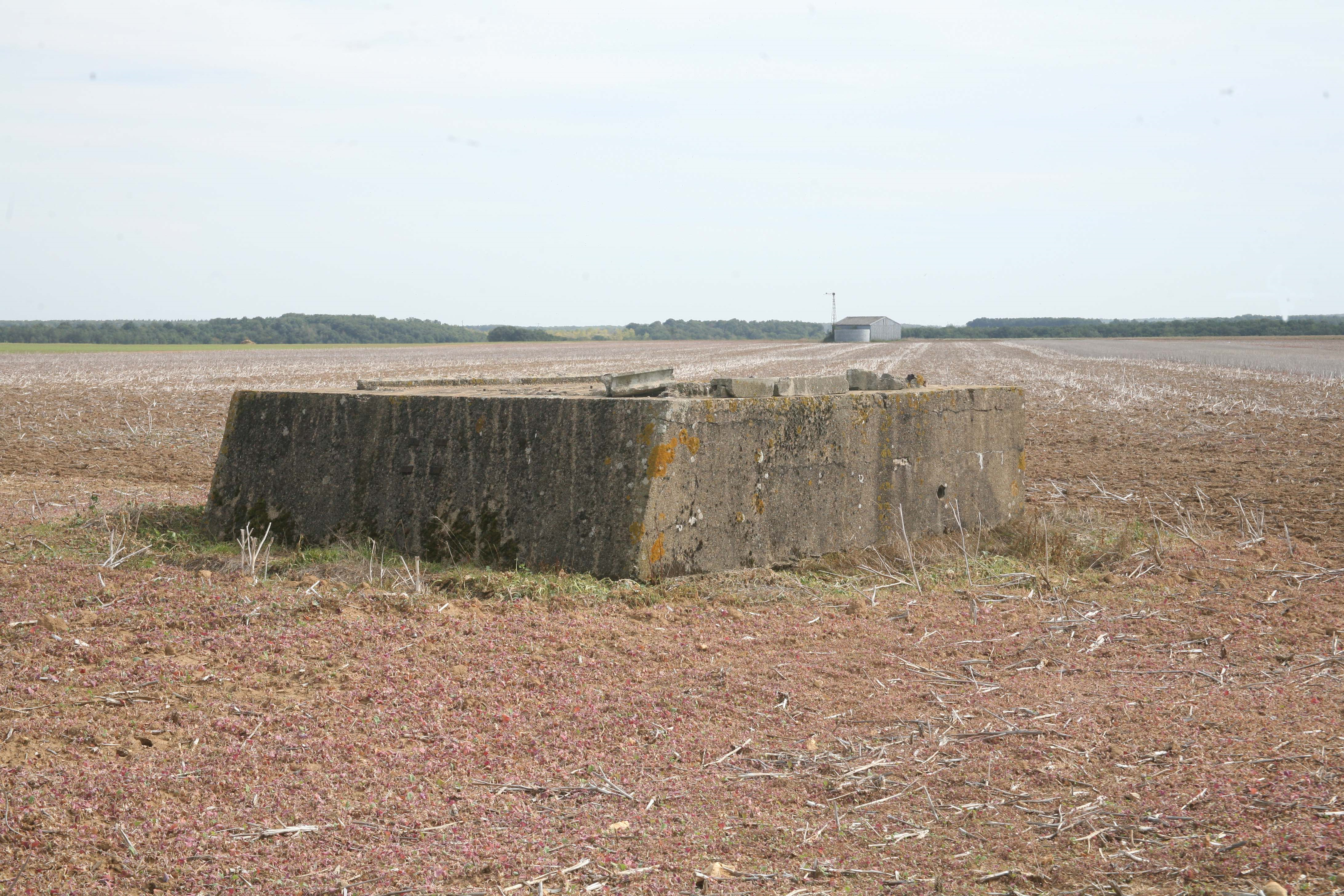
| In the distance the five concrete blocks. | The front (North) and rear (South) plinths seen from the same angle as the photo on the home page of the website. |
 |
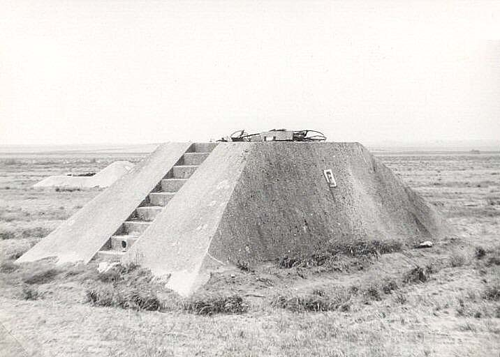 |
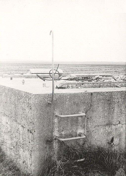
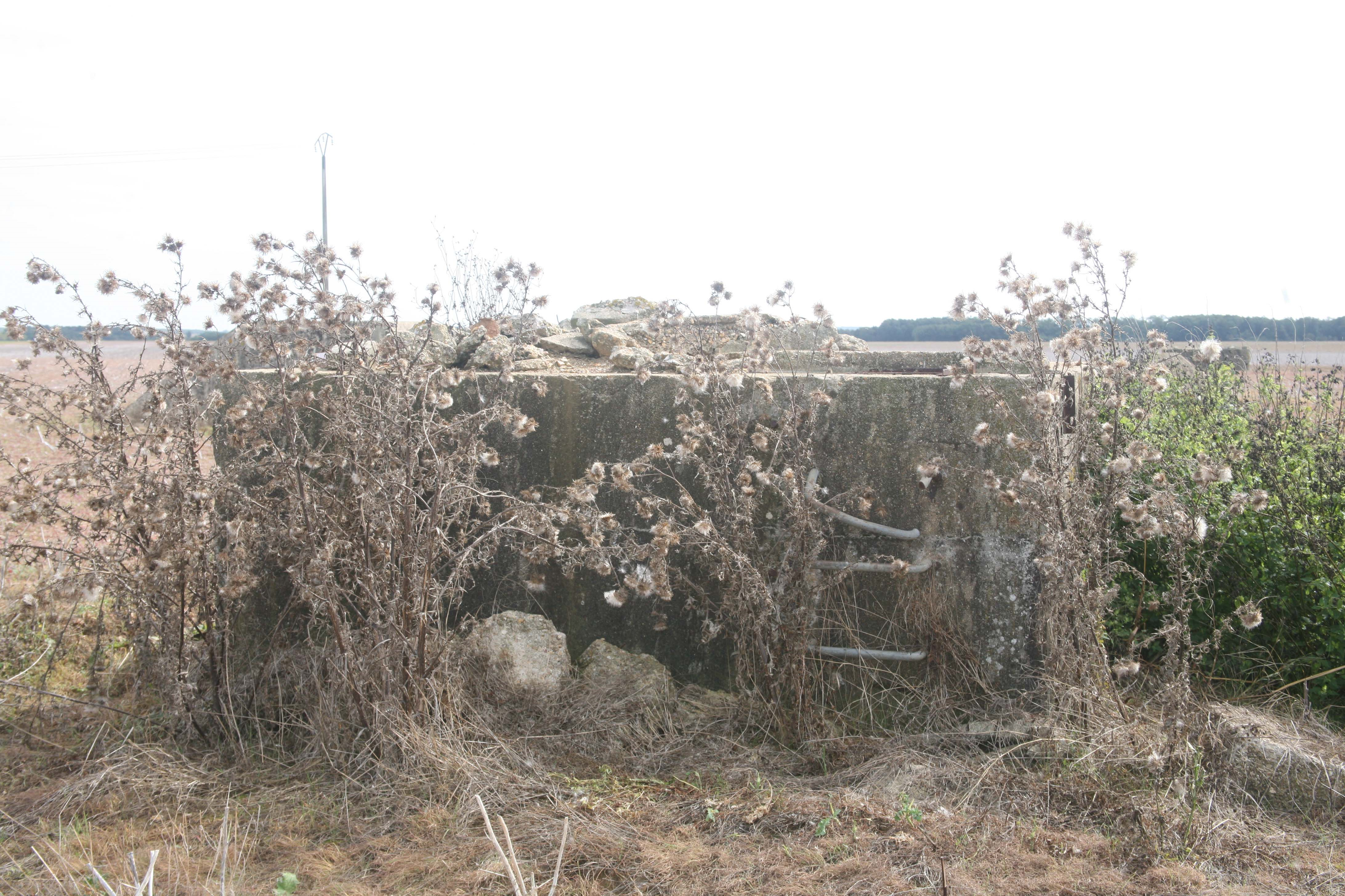
| In the foreground the base of the North winch. | The right north base and the stairs to the nacelle. On the second step (from the bottom) there is a hole for blasting the base once the turbine is dismantled. |
 |
|
| The ladder to the South winch which was placed on the base. | |
Remains in 2011 |
|
 |
 |
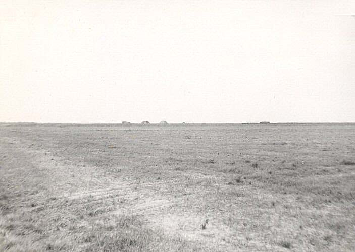
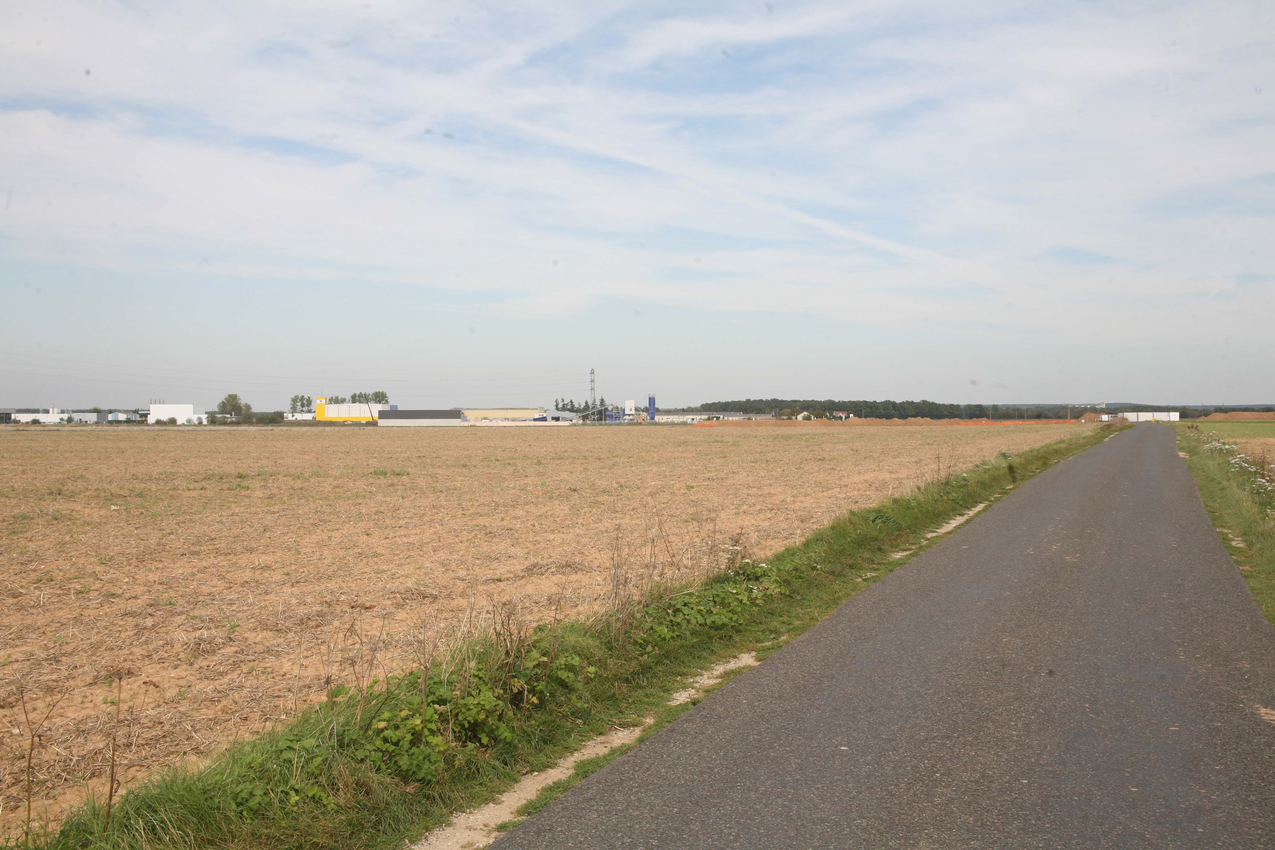
| The Courville road in 2011 | The surrounding area |
 |
 |
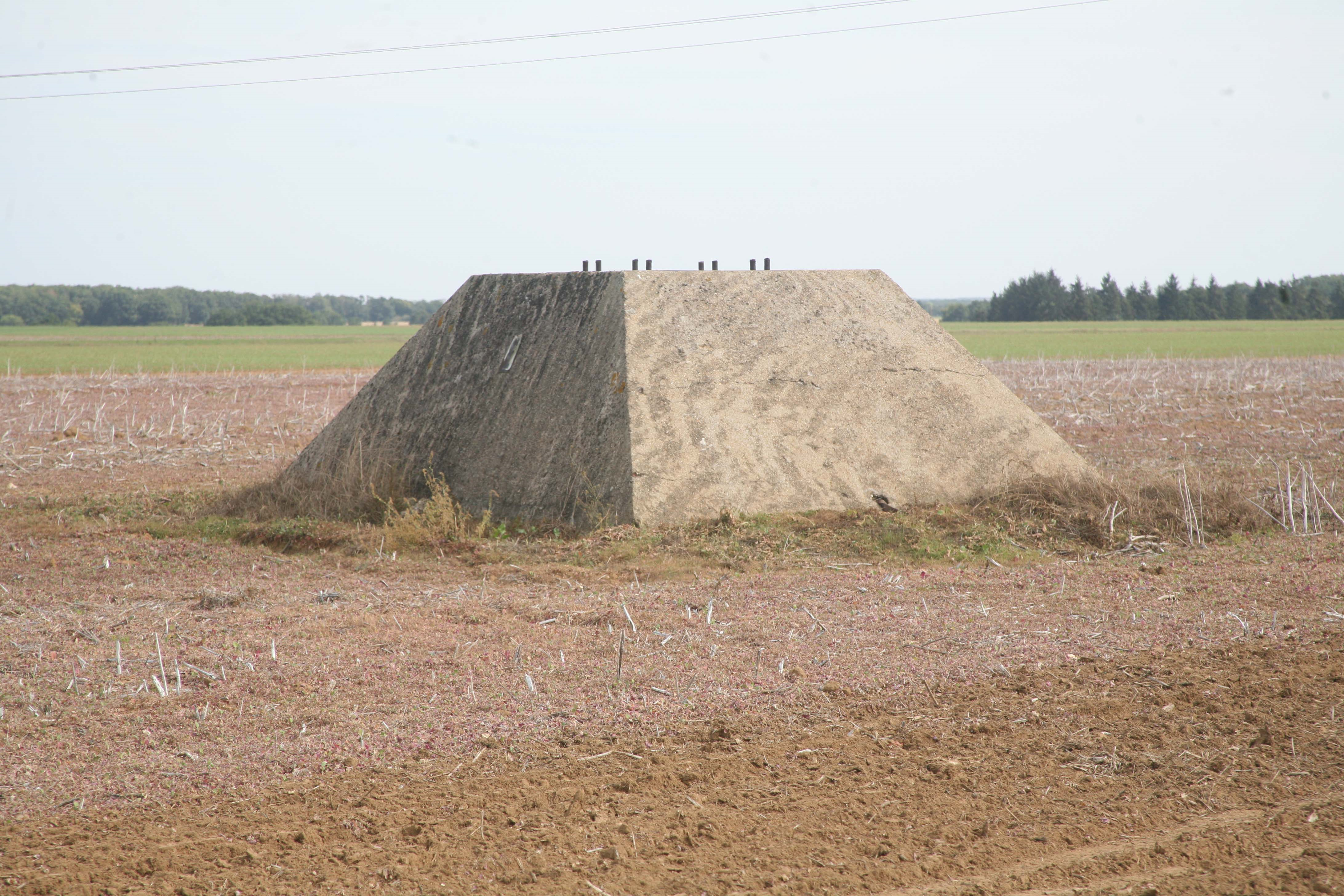
In the foreground and centre, the concrete base of the North winch. |
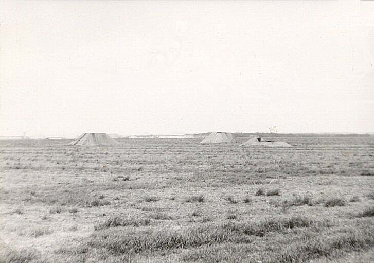
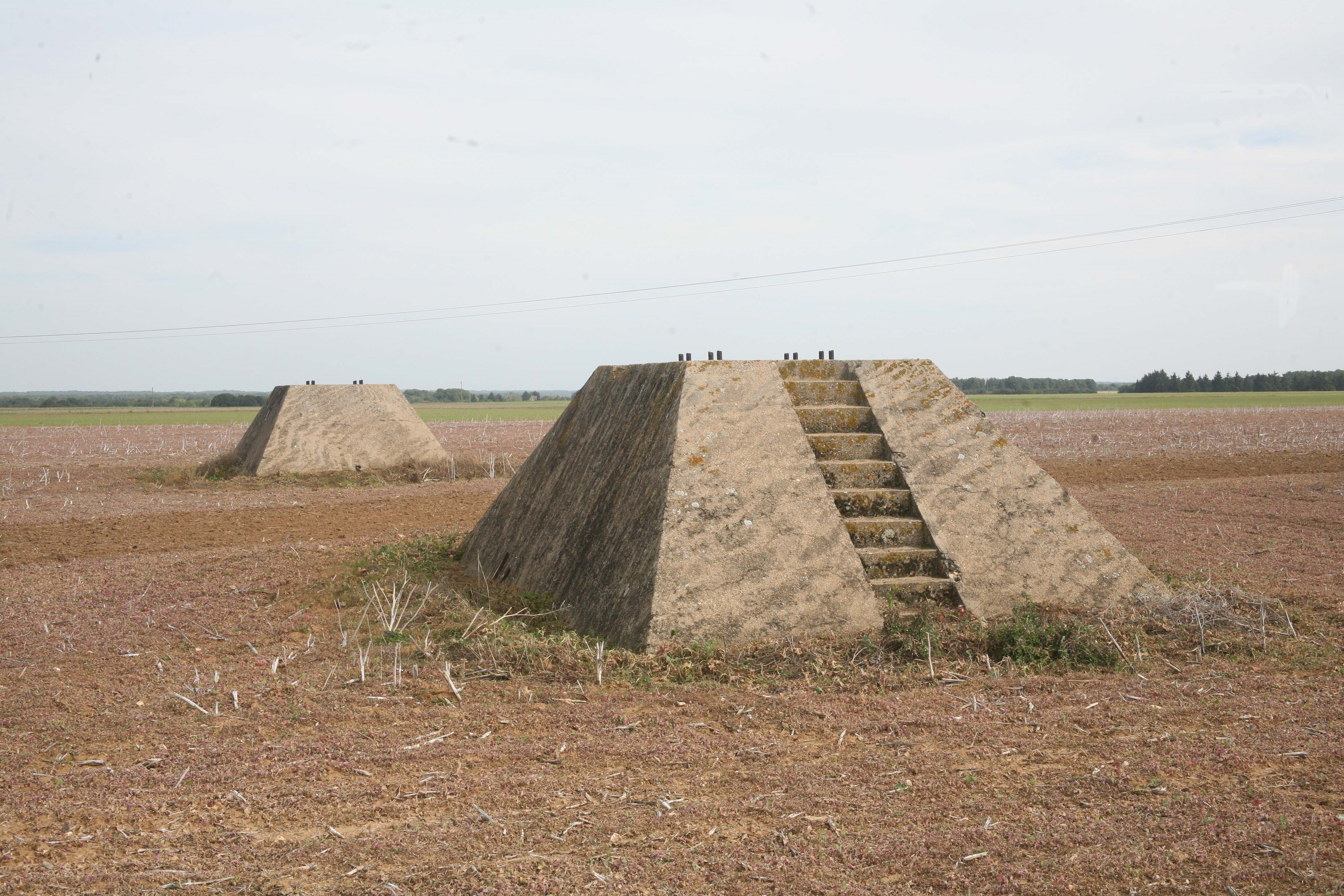
The whole from another angle. The bases of the two north legs, the south leg and, in the background, the base of the north winch. |
 |
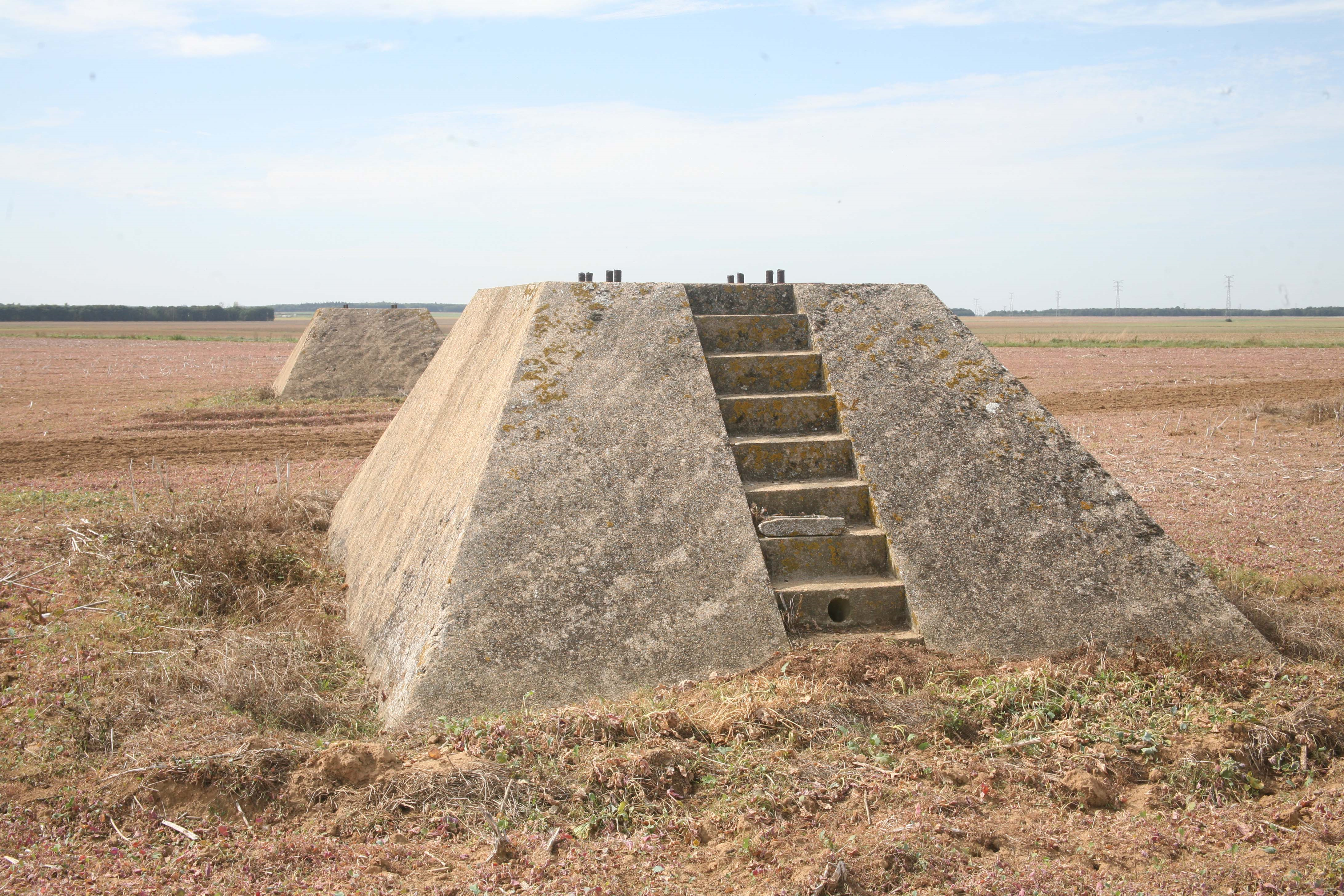 |
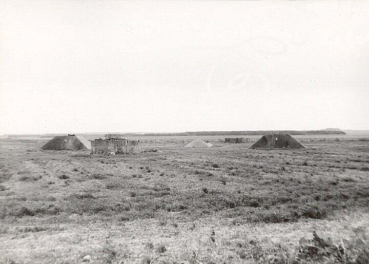
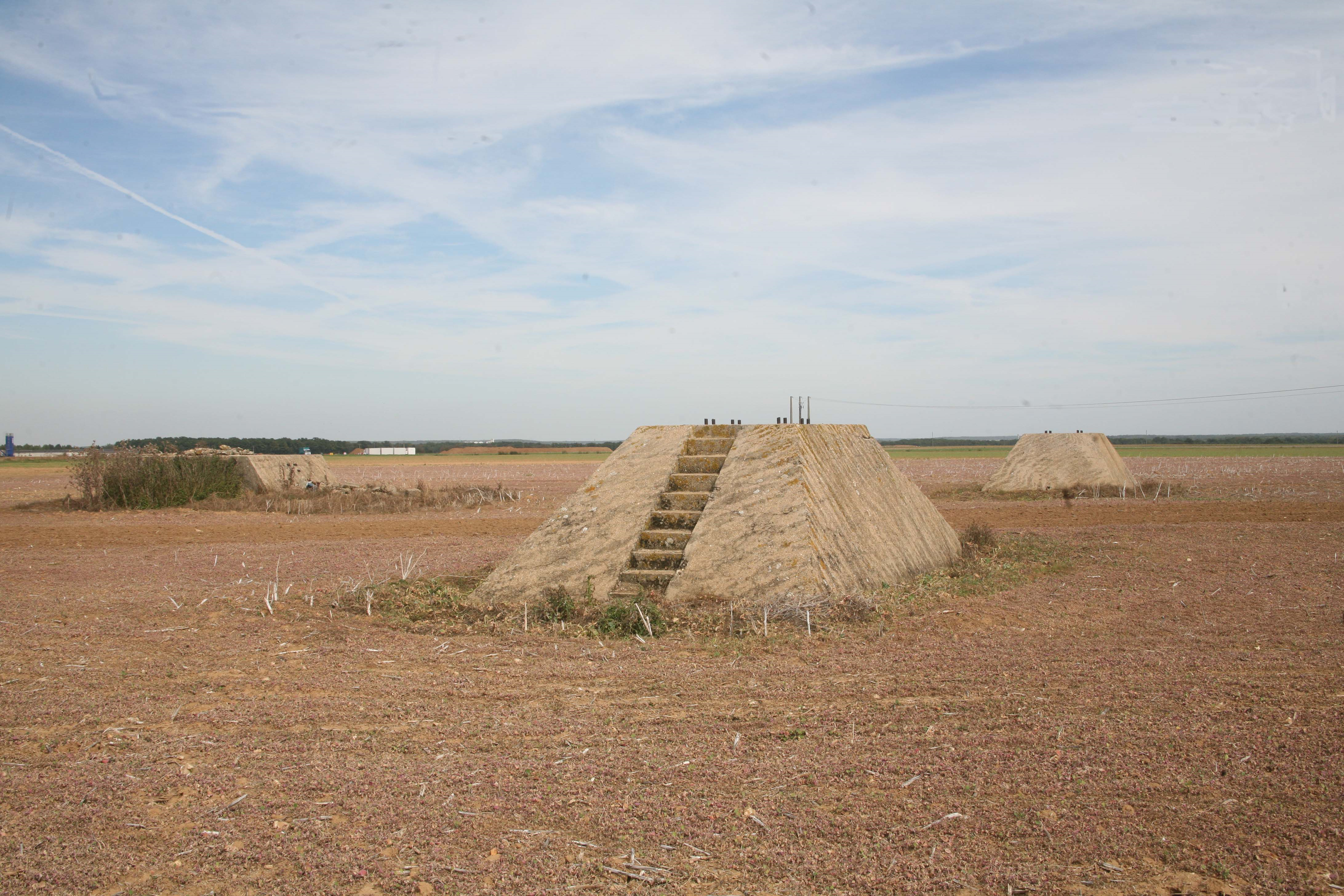
| View of the bases of the legs of the tripod and the North winch. | The bases of the tripod's north legs and, on the left north base (in the foreground), the stairway to the nacelle. One can see the hole where the dynamite blocks should have to be placed at the end of the tests. |
 |
 |
| One of the North plinths | Same bases seen from the opposite angle |
 |
 |
| The base of the south stand and what remains of the locking device. | The base of the south foot. |
 |
 |
| Close-up of the South leg base and the locking plate fixing device. | Anchoring point of the traction cable and retention on the base. |
 |
 |
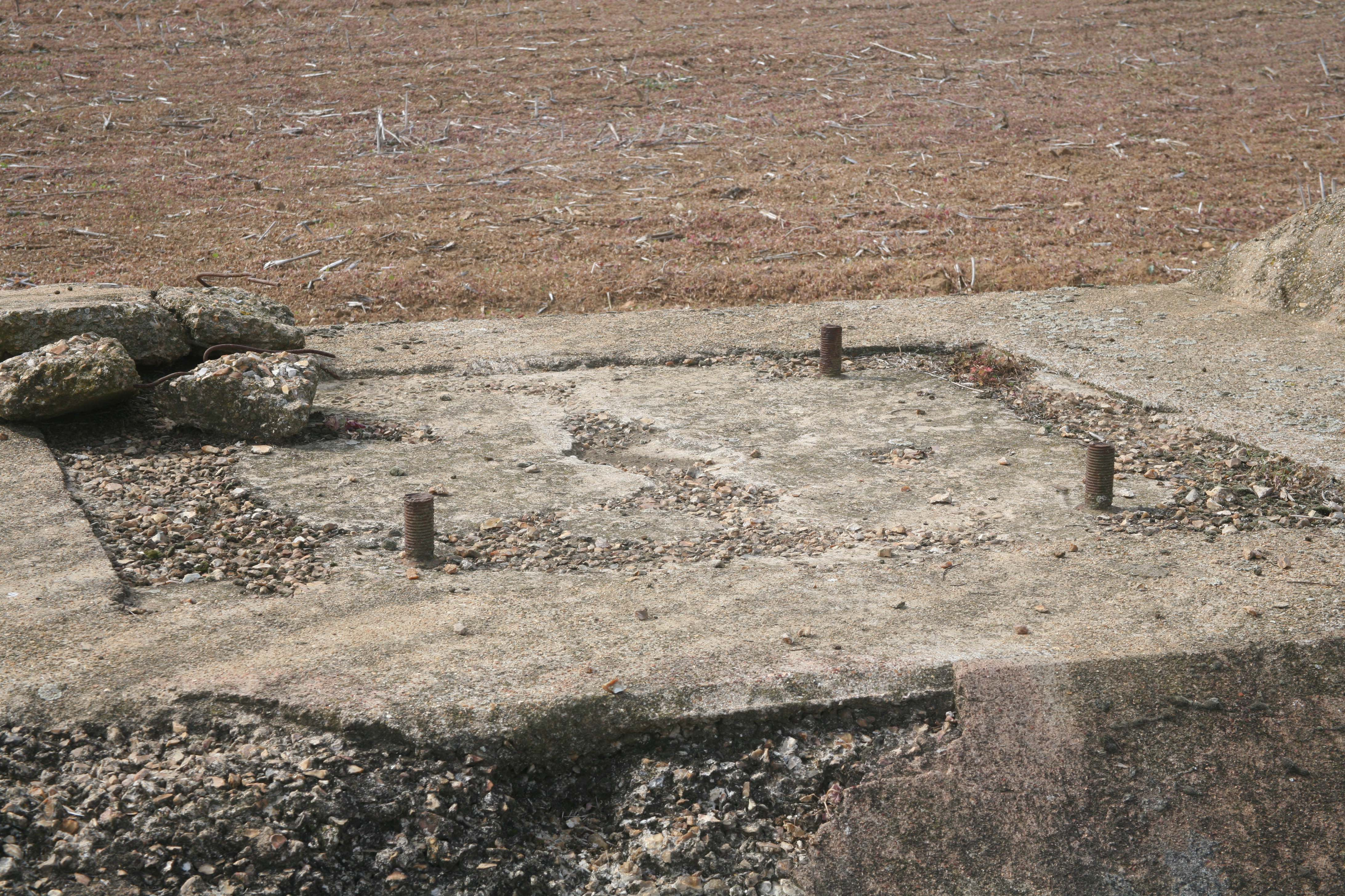
| Part of the locking device. | The same seen in close-up. |
 |
 |
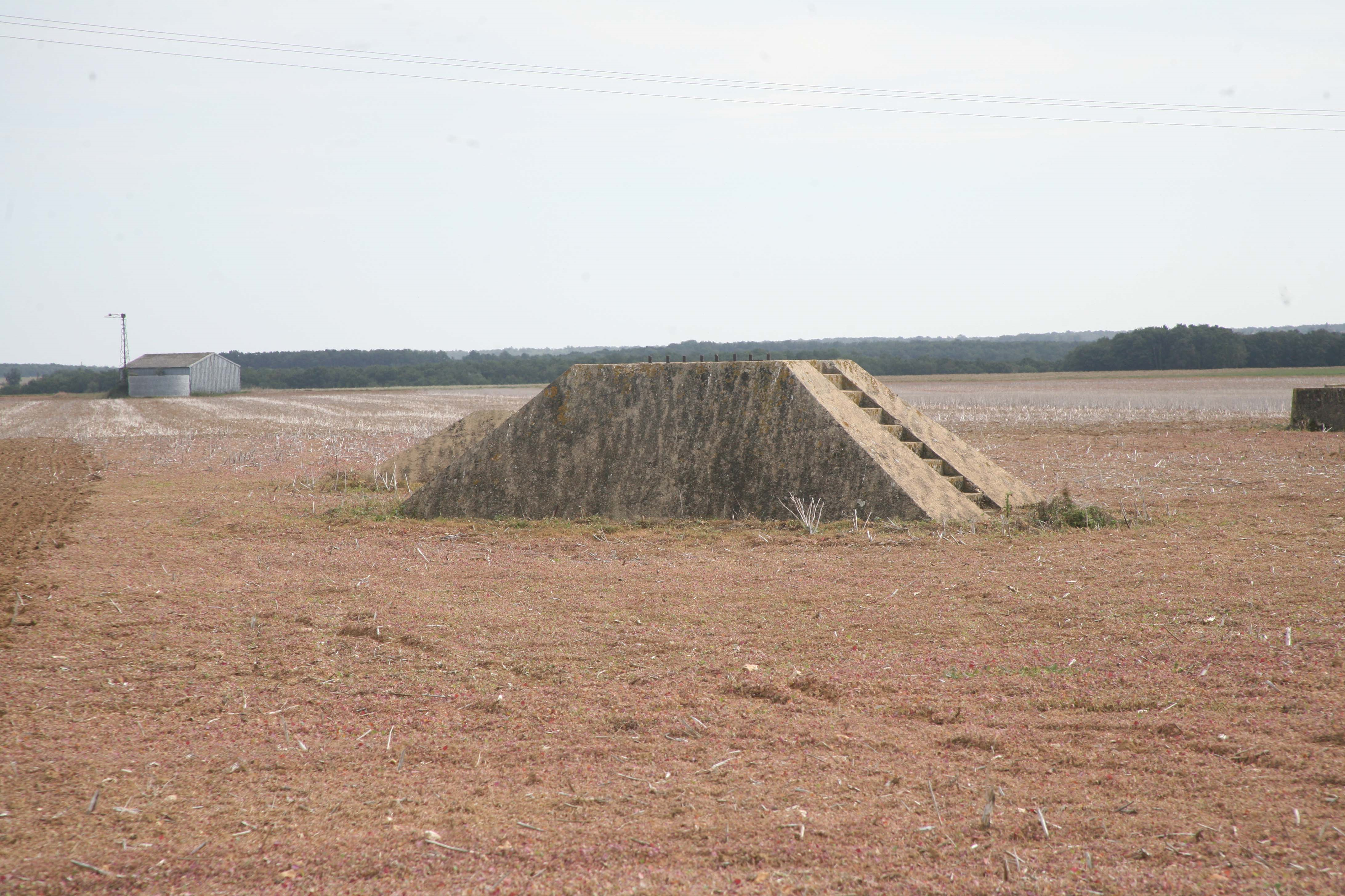
| North winch base and ladder to access the winch. | Base of the South Winch. |
 |
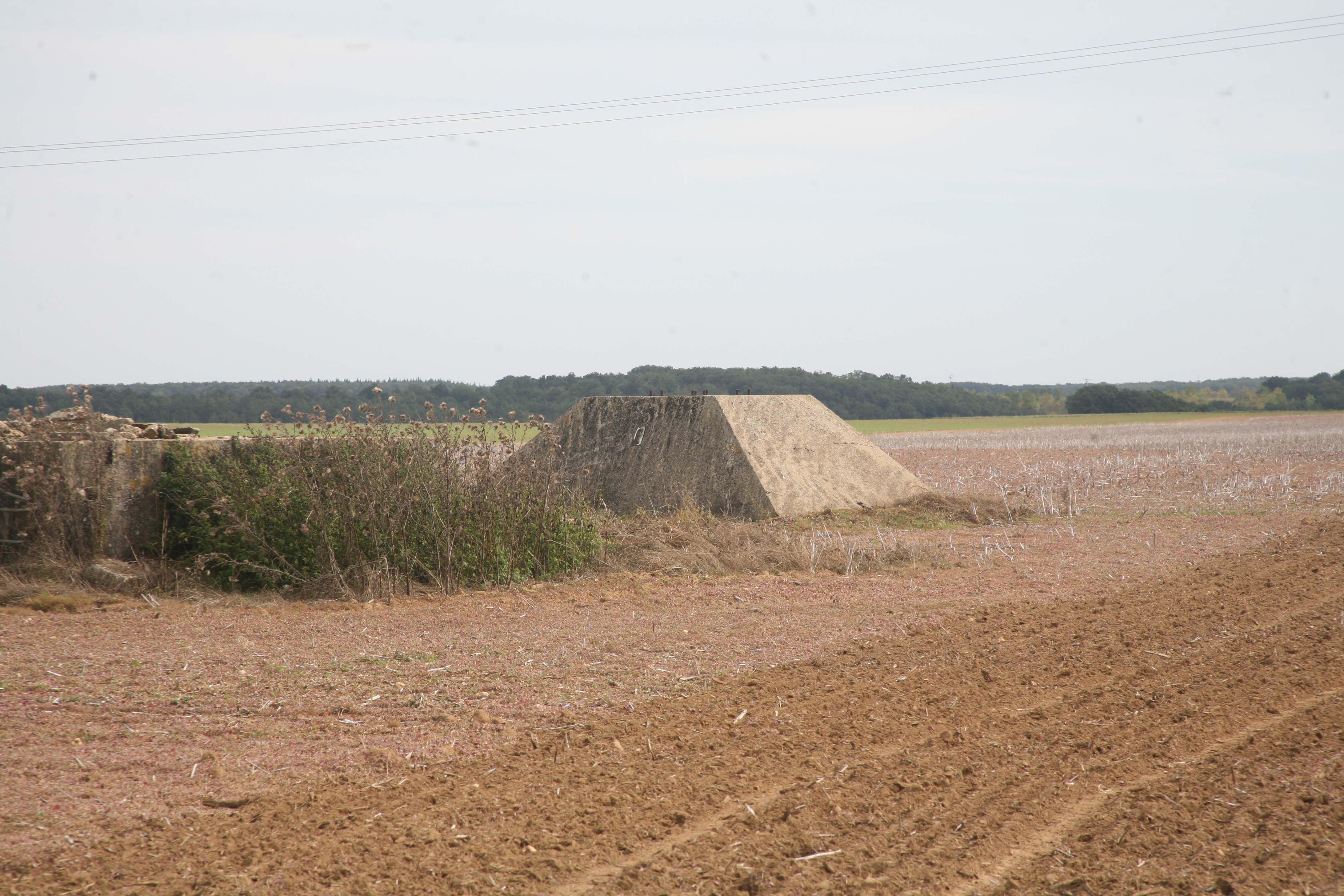 |
| North base is seen from another angle. On the left edge, you can partially see the base of the South winch. |
Another view. |
 |
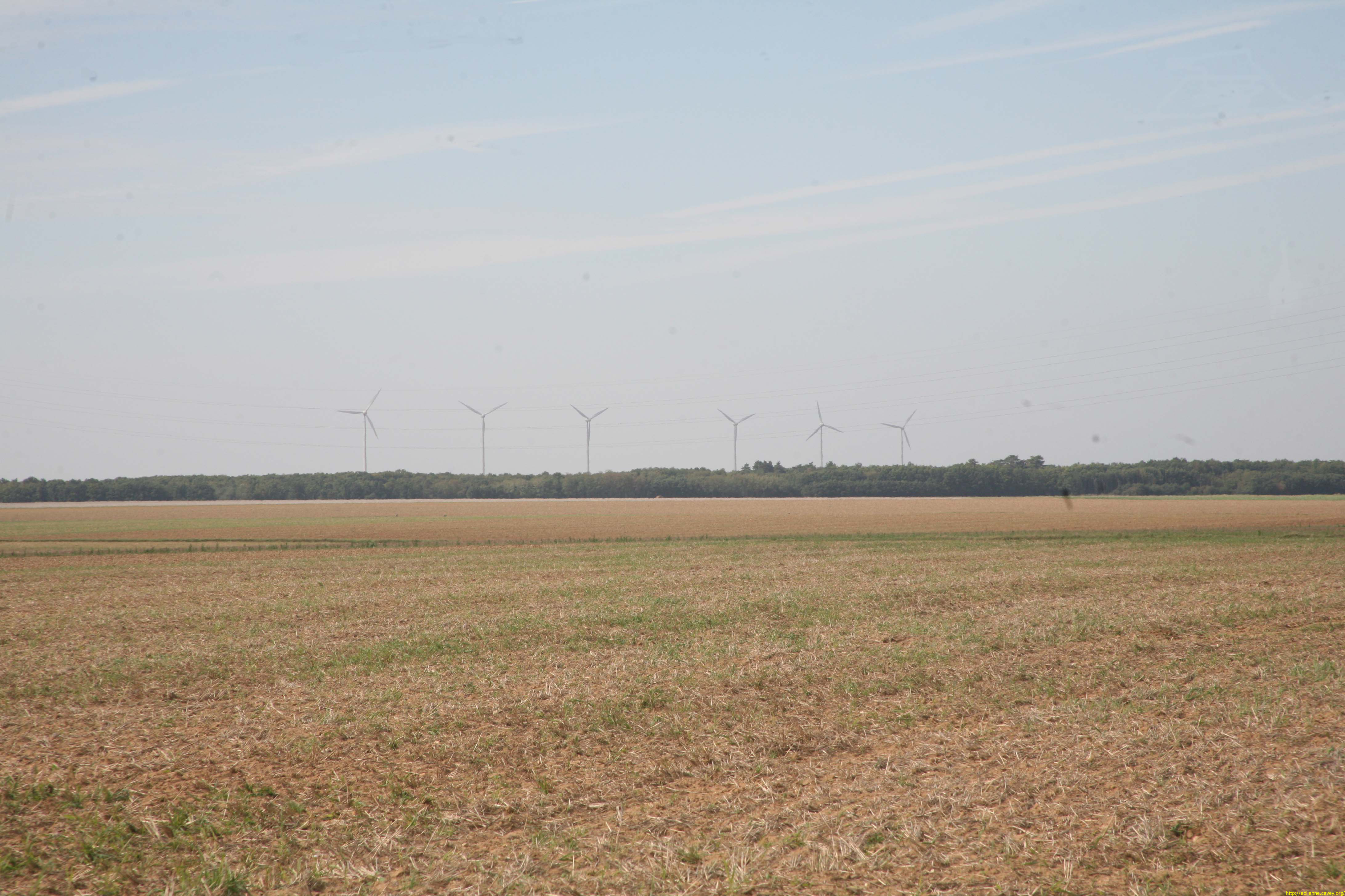 |
| General view. | Wink: six modern wind turbines in the distance. |
| (Click on the pictures to see them at their actual size). | |
| The remains of the wind turbine seen from space. | |
Source : Géoportai.gouv.fr The five concrete blocks are visible at an altitude of 100m in 2026. |
|
Back to the top of the page