Access to the site


menu
Home
1950-1955 : The prototypes
The choice of the site
Construction
EDF or BEST photographs
Access to the site
Establishment of the site
The team
Design features
The wind turbine commented
Sights on the wind turbine
Close-ups on the wind turbine
The measuring station
Tilting the wind turbine
1959: Record of production
Disassembling the generator
Some figures
Documentation
1966: the scraping
What is left of the wind turbine?
Great power wind turbines
Where are the archives?
Lucien Romani
L. Romani & l'O.N.E.R.A.
Rauline Report and the N.A.S.A.
Acknowledgments
French wind links
Legal notice
Site map
Who am I?

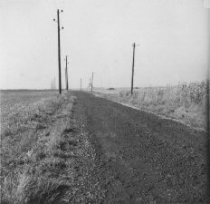
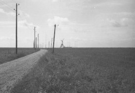
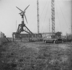
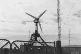
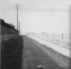
From Nogent-le-Roi, the site of the wind turbine was reached by taking the road to Ormoy (D26) and then the D148 (Courville road) along the castle wall in the direction of the place called "La Place". The site of the wind turbine, the remains of which can still be seen, was located about 2 kilometres along this road, which is now cut off by a bypass. As a result, the road layout and the plot of land have changed significantly.

These photographs illustrate the impression the visitor had when arriving at the Wind Energy Research Station.
Eolienne_005_01.png Eolienne_005_02.png
The D148 was called "Route de Courville" at the time. This road has since been moved.
On the left are the castle wall and the 15,000 volt MV line.
   
Eolienne_005_03.png Eolienne_006_04.png
   
Eolienne_005_05.png Eolienne_005_06.png
(Click on the pictures to see them at their real size).
Last update: May-18-2021 16:41:19 CEST

Back to the top of the page